About Us
Camping, Hiking, Mountain Biking, Wildlife Viewing, World-Renown Fly Fishing & Lounging by the Metolius River.

The Best Destination To Complete Your Adventure
About Us
This region experiences warm (but not hot) and dry summers, with no average monthly temperatures above 71.6 °F
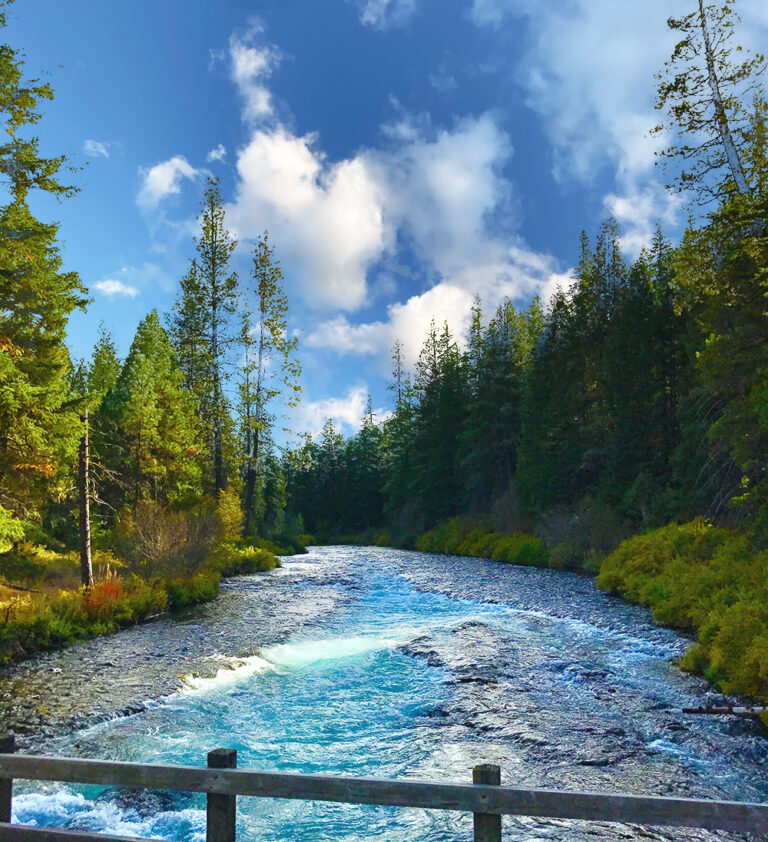
The Metolius River
Welcome to Camp Sherman, a charming unincorporated community nestled along the picturesque Metolius River in Jefferson County, Oregon, United States. As of the 2010 census, our year-round population was 233, but during the summer months, this number triples or even more as visitors flock to our serene retreat.
Our community boasts essential amenities such as the Black Butte School, a quaint general store, and a reliable post office. Safety is a top priority here, with our dedicated volunteer fire department always ready to lend a helping hand.
Camp Sherman has a rich history, with its origins dating back to the latter part of the 19th century when vacationers from Sherman County first discovered the tranquil beauty of this area.
We invite you to experience the magic of Camp Sherman, where the river flows gently and the community thrives with warmth and hospitality.

Camp Sherman
Association
What does Metolius means?
Giving You The Best Experience
Early in the 1900’s Sherman County wheat farmers escaped the dry summer heat by migrating to the riverbanks of the Metolius River to fish and camp in the cool river environment.
Name After
In June of 1917 the War Department officially announced that Chillicothe would become known as Camp Sherman, named after the famed Union Army Civil War General, William Tecumseh Sherman.
Mt. Jefferson
Take your pick: Camping, hiking, mountain biking, wildlife viewing, lounging by the river. Camp Sherman has it. Located just 31 miles northwest of Bend, this city sits on the Wild and Scenic Metolius River.
The Metolius River
Is tributary of the Deschutes River in Central Oregon, United States, near the city of Sisters. The river flows north from springs near Black Butte, then turns sharply east, descending through a series of gorges before ending in the western end of the lake.
Why So Blue?
In the shadows of the canyon, the water is a rich dark blue, a stream of liquid ink rolling through a forest of burnt-orange ponderosa pines. But in the groves where sunlight comes through, Oregon's magic stream lights up with patches of azure and sapphire so clear they rival Crater Lake.
Follow us
Newsletter
Join our newsletter for news and promotions!
Website by beeanerd
Copyright © 2022 Metolius River Association all Right Reserved.


